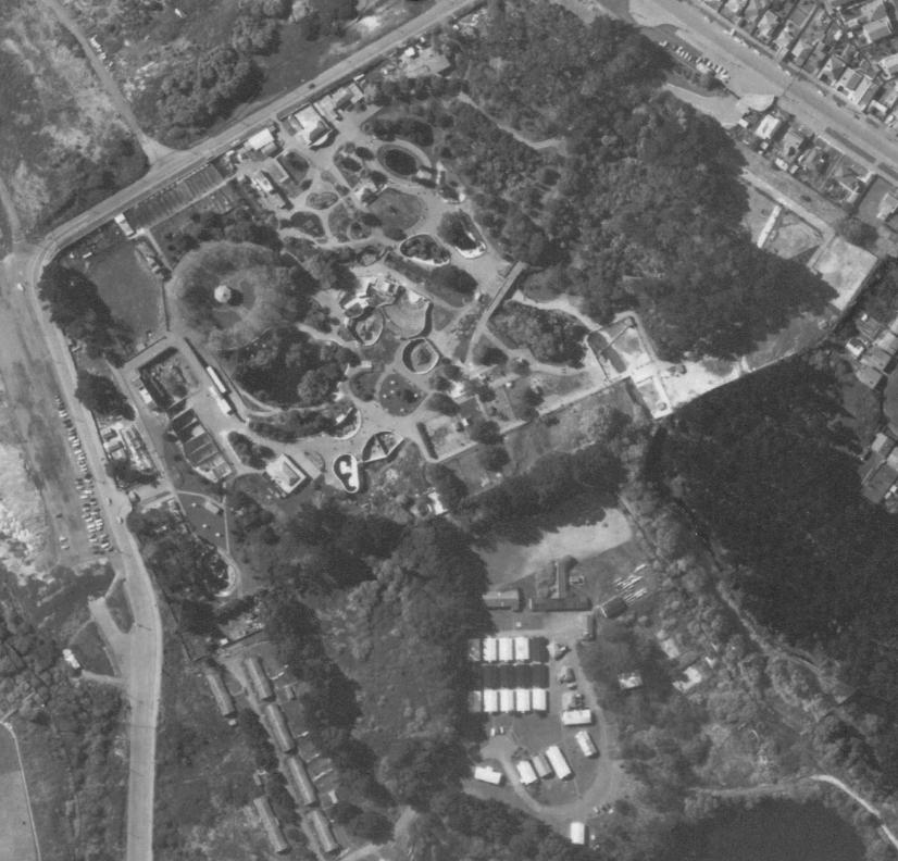
No problem I might investigate further on that area of buildings.
These can be viewed at Auckland Council GIS Viewer under the 'historic aerial photos' feature. You can zoom in closer for an even clearer image, but it was too hard to merge them into one image because my monitor is to small.